Table of Contents
Headline: Heavy Snowfall Expected in Ireland Sparks Travel Concerns
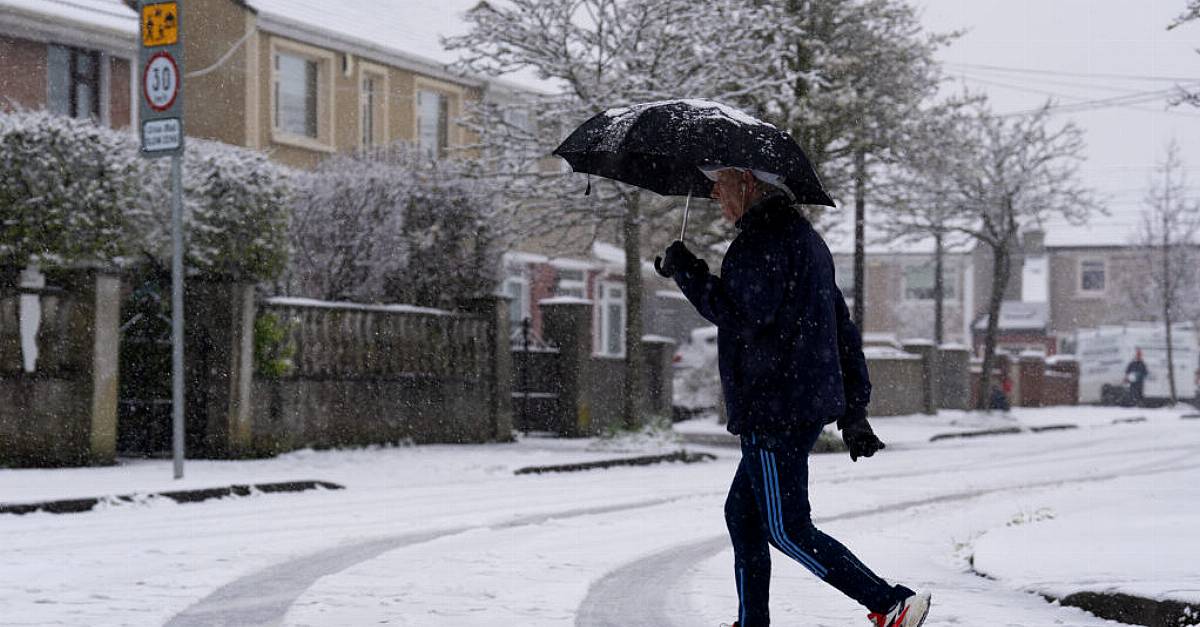
As heavy snowfall looms over Ireland, Met Éireann has issued urgent weather warnings for several counties, foreseeing significant travel disruptions and hazardous conditions. Starting from midnight, counties including Clare, Cork, Limerick, Tipperary, Galway, and Waterford will be under a status orange snow warning, prompting officials to alert residents and travelers alike to prepare for the storm’s impact.
Warnings and Weather Conditions
The anticipated snowstorm will bring a swift transition from heavy rain to sleet and snow, with accumulations of at least 5 cm likely within 12 hours on Thursday. A yellow alert for snow and ice is currently in place for 17 counties—Carlow, Dublin, Kildare, Kilkenny, Laois, Offaly, Wexford, Wicklow, Munster, Galway, Mayo, and Roscommon—valid until 12 PM Thursday.
Travelers should be especially cautious during the morning rush hour, as Met Éireann has informed the public about the potential for treacherous driving conditions. Keith Leonard from the National Directorate for Fire and Emergency Management emphasized the importance of planning for delays, saying, “If anyone is traveling tomorrow, they really need to give themselves as much extra time as they can to complete the journey.” Leonard’s advice also included slowing down and being mindful of pedestrians and cyclists.
Expected Impacts on Daily Life
With temperatures expected to drop between -4°C and 0°C, the prevailing risk of frost and icy stretches means individuals should take necessary precautions, especially motorists. Leonard urged the public to check on vulnerable neighbors during this severe weather period, indicating that community cooperation could make a considerable difference.
School transport services will continue as planned, though parents and guardians should remain vigilant for any potential announcements regarding school closures based on local conditions. Leonard stated, “Schools will probably need to assess the conditions locally and may possibly close their doors if it’s not safe to open.”
Future Forecasts
Beyond the immediate snowfall, Met Éireann is currently monitoring another low-pressure system set to arrive over the weekend, although this storm has not yet been officially named. Residents are advised to stay updated on the latest weather forecasts and advisories as the situation progresses.
Stay Informed and Prepared
For those navigating the winter weather, adhering to safety recommendations is crucial. Here are a few tips to keep in mind:
- Slow Down: Reduced driving speeds can prevent accidents on icy roads.
- Prepare Your Vehicle: Ensure your car is equipped with snow chains or tires and that you have an emergency kit on hand.
- Stay Updated: Follow reliable weather resources, such as Met Éireann or local news outlets, for updates.
- Check on Neighbors: Especially those who may be vulnerable or isolated, a simple check-in can improve community resilience during severe weather events.
As Ireland braces for substantial snowfall, the public is encouraged to act responsibly and prepare for the winter challenges ahead. Your thoughts and experiences regarding travel during this snowy period are welcome—share your stories in the comments below!
What precautions should individuals take to prepare for heavy snowfall and its impact on daily life?
Welcome to World Today News, we’re here with Professor Catherine O’Donnell and Emma Grant, two experts on weather patterns and their impact on daily life. Today, we’ll be discussing the heavy snowfall expected in Ireland and its potential implications for travel and daily life.
Professor O’Donnell, as an atmospheric scientist, can you tell us more about the weather conditions that are causing this snowfall and when we can expect it to subside?
Professor O’Donnell: Thank you for having me. Yes, it’s definitely going to be a challenging few days for Ireland. A low-pressure system moving across the Atlantic Ocean is bringing heavy rain and strong winds, and as it interacts with the cold air over Ireland, it’s expected to trigger a transition to sleet and snow. The snow will start in the southwest and move northeast throughout the day, with accumulations of at least 5 cm anticipated. The snow is expected to intensify in the regions under status orange alert, with yellow alerts in other areas. Unfortunately, the snowfall is expected to continue into tomorrow morning, but it should start to subside by midday.
Emma, as a traffic expert, what kind of impact do you foresee on daily life and transportation due to this snowfall?
Emma Grant: Well, unfortunately, this sudden change in weather can cause quite a bit of disruption. The early morning rush hour is usually when roads are at their busiest, so I would advise everyone to plan ahead and allow for extra travel time. With icy conditions, slowing down is key to preventing accidents. School transport services will continue, but parents should be aware of any potential school closures based on local conditions. Public transport may also be affected, so it’s best to check with your provider before heading out. community cooperation and caution will be essential during this period.
That’s interesting. Professor O’Donnell, the National Directorate for Fire and Emergency Management has advised people to check on vulnerable neighbors during this severe weather period. Can you explain the rationale behind this recommendation?
Professor O’Donnell: Absolutely. In severe weather events like this one, communities need to work together. By checking on


