The second week of May says goodbye with heat in most of Spain and temperatures with ups and downs that will exceed 30 degrees in the center and south, giving rise to an almost summery atmosphere that will partially soften the expected storms in some parts of the country. during the weekend.
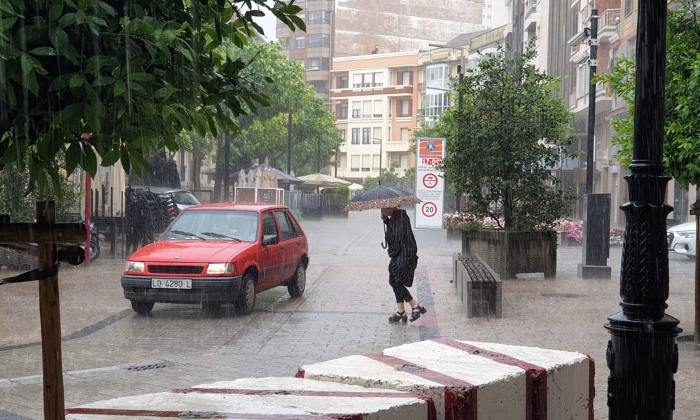
Specifically, in La Rioja on Friday it will dawn sunny and with maximum temperatures that will be around 32 in Calahorra and 30 in Logroño. But everything will go wrong at the end of the morning, when the clouds will burst in to sprinkle practically the entire region with showers and storms, without ruling out the presence of hail.
“The maximum temperatures that are expected in much of Spain for the next three days will be between 5 and 10 degrees above normal at this time,” said Rubén del Campo, spokesman for the State Meteorological Agency (Aemet) on Thursday. .
In this way, the week will close with markers “more typical of the end of June or the beginning of July” than of spring, Del Campo has advanced, but he added that the thermometers will experience some “ups and downs” with decreases today, Thursday, increases tomorrow Friday, small variations on Saturday and new drops on Sunday.
In general, it will continue to be hot, except on the Mediterranean coast, where the thermometers will remain at spring values ”due to the cushioning effect of the sea waters, which are still cool,” the Aemet spokesman assured.
Photo: EFE/Javier Belver
–
Forecasts suggest that the heat will soften somewhat during the weekend when afternoon storms are announced in the north and east of the Peninsula, which could be locally strong and even be accompanied by hail, but which will disappear in the face of the next week.
For now, for today, Thursday, the Aemet forecasts increasing cloudiness in the northern half, with evolving clouds that could leave storms on the Meseta and in the surroundings of the Cantabrian Mountains and that could be strong – up to 20 liters per square meter of precipitation in an hour – and be accompanied by hail in the upper Ebro.
In general, temperatures tend to drop, although they will continue to be high for the season and thus it is expected to exceed 30 degrees maximum in the Ebro and Tagus valleys, and 32 degrees in the Guadiana and Guadalquivir valleys.
For tomorrow, Friday, the Aemet forecasts a similar situation, with generally slightly cloudy skies in almost the entire country early in the morning and daytime clouds in the northern half that could lead to storms in mountain areas and nearby areas.

PHOTO: EFE/Javier Belver.
–
In addition, it is likely that there will be dust in suspension in the southern half of the peninsula, the Balearic Islands, Ceuta and Melilla, which would worsen the quality of the air, as well as cloud the sky and reduce visibility.
Again this day the thermometers will exceed 30 degrees in much of the center and south of the peninsula, as well as in the Ebro Valley and points of the northern plateau. As an example, it is possible that tomorrow, Friday, the temperature will reach 35 degrees in Seville; 33 in Saragossa; 31 in Valladolid or 30 in Madrid, while in Valencia and on the shores of the Mediterranean it will be 25 degrees.
As for the Canary Islands, temperatures continue to drop today Thursday but little by little they will return to normal values for these dates, with light winds on the coasts, compact cloudiness in the western islands and the possibility of a shower tomorrow Friday in Tenerife.
–

