
The satellites are capable of providing key information on the status of crops, soil conditions and much more.
During the last years, the use of space technology in agriculture has increased remarkably and, at this point, few doubt its great utility and value. With the introduction of technology in agriculture, this has become a sophisticated activity, which requires a lot of information to be done properly. Among other things, farmers must now be aware of and know the availability of water in the area, characteristics of the land (such as humidity, composition, etc.), new agricultural management techniques (for example, precision agriculture) or meteorology.
A large amount of data that helps in these and other questions comes precisely from space. Satellites are able to provide key information on the status of crops, soil conditions, water bodies, weather forecast, etc. Thanks to this data, different types of analysis can be carried out that predict the performance that will be obtained or anticipate extreme weather events.
Uses of satellite imagery and data
Satellite data is very useful for the farmerHowever, there are different satellites available and the characteristics differ from each other, so depending on the intended use, it is necessary to find which satellite can provide the best information for each specific case.
Soil condition monitoring
In addition to crops, Monitoring the soil is an essential requirement for good agricultural management, as it is where plants grow. Soil aeration capacity, its humidity, the amount of nutrients it contains, the erosion to which it is subjected, etc. These are parameters that, if they are not at the correct levels, can affect the correct development of the plants.
Soil fertilization
Each type of soil requires a different fertilization; Not only that, as a general rule, arable land is not 100% uniform, so there will be areas that require more fertilization than others. The use of fertilizer in areas where it is not needed is not only an unnecessary expense, it also affects the environment. Thanks to the data obtained through satellite it is possible to know how much fertilizer each area requires and thus be able to apply techniques such as the variable rate.
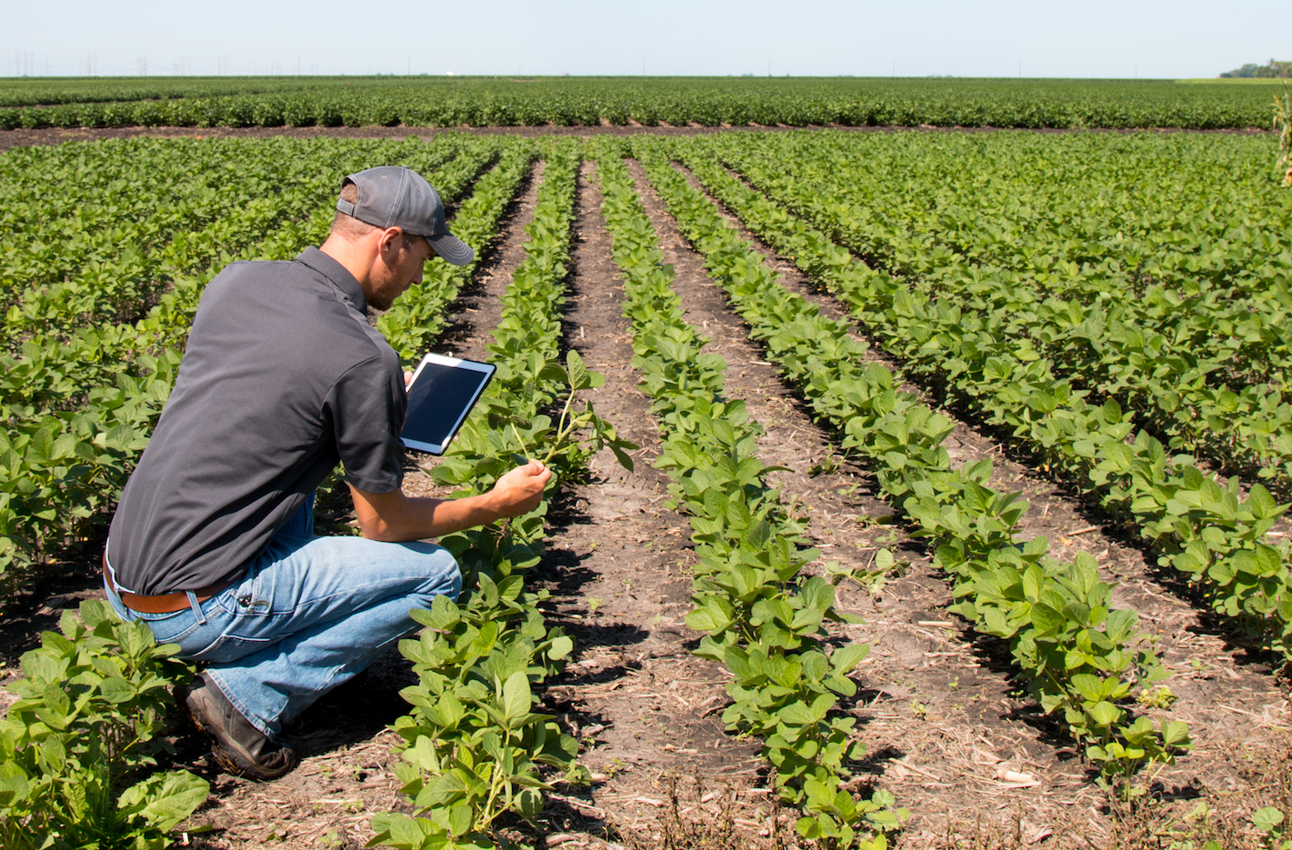
Crop health control
Determining the health of a crop with the naked eye is not enough, as some ailments or problems are not easily visible. Data collected by satellites can be analyzed with vegetation indices, which examine different wavelengths, including those not visible to the human eye, to identify potential problems.
Water management
Satellite data has the ability to tell the farmer which areas of the field require irrigation, avoiding problems due to lack or excess of water. It is also a great support to locate nearby water bodies and their current capacity.
Resource optimization
Uncontrolled use of available resources not only is it bad from an ecological point of view, it is also hurts the agricultural business by increasing spending of water, fertilizers, fuel for machinery, etc. when it is not really necessary and, therefore, decreasing the profit that the farmer will obtain once he sells the crop.
Machinery management
Agricultural machinery equipped with GPS devices can be driven by satellite data, without the need for a driver and taking optimal routes. This means less time for the farmer and less fuel.
Weather forecast
There are numerous weather events that can ruin a harvest: droughts, torrential rains, floods, strong gusts of wind, etc. The sooner a farmer has information on extreme weather events, the more time he has to prepare his field and minimize damage. Thanks to the data obtained by satellite, farmers can be aware of these events before they occur and be able to act accordingly.
Why is satellite data important in the agricultural sector?
The versatility of satellite data allows everyone involved in the agricultural sector to have information related to this. From an individual point of view, satellite data allows farmers to obtain information regarding their field, for example, irrigation and fertilization needs, crop health, current soil conditions, etc. The vast majority of agricultural holdings are small in size, which means that Maximizing profit and reducing expenses can be critical in keeping your farm operational.
From a bigger point of view, with satellite data it is possible to estimate the yield that will be obtained with respect to a certain crop in a specific region, something that will determine not only the sale price that it will have in the market, it is also useful to make estimates regarding insurance and its premiums.
Growth forecast for the agricultural sector
Given the expectations of world population growth in the coming decades, agriculture will continue to be an essential activity. The challenges it faces, not only increased production, but also carried out in a more sustainable way, mean that the use of technology is essential.
Satellites, as well as the data they collect, are the basis of a new way of managing agriculture, with information on each part and process, allowing the farmer to optimize the use of inputs and obtain a better yield, which in the long run translates into greater profit. This technology is affordable for both large farms and small family farms and thanks to specialized software, its use is much easier than it may seem at first. The future of the earth depends, to a large extent, on agriculture and it must evolve at the highest level.
Related topics: Technology

Subscribe to Disney + for only € 8.99!
–

