Dutch research is among the best in the world. That is why KIJK editor Laurien Onderwater introduces you to a scientist from our own soil every month in this column. This time: Adriaan van Natijne investigates whether you can predict landslides from space.
Who are you?

“My name is Adriaan van Natyne, 30 years old. I studied Applied Earth Sciences at TU Delft and this year I will complete my PhD research there. In my spare time I work on my site GeoTiles. nl, which contains detailed and ready-to-use geographical data about the Netherlands. Many students, but also people working in the construction industry, are now using this.”
—
Also read from Underwater Interrogates:
What are you doing?
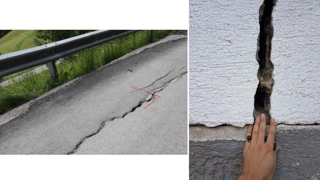
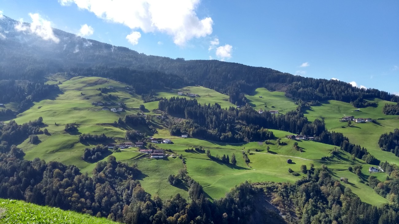
“When we hear the word landslide, most people envision huge mudslides crashing down a mountain – sometimes resulting in many deaths and millions of dollars in damage. The slope of such a mountain is stable, until something happens in the environment that causes it to move and suddenly accelerate. This type of landslide is difficult to predict and you do not see it coming. In my PhD research I focus on slopes that slowly sink, causing them to slide down a bit. With the help of satellite data I try to understand, model and even predict those slow, deep landslides. Because even though such a landslide moves painfully slowly, the resulting ground movement can still be very harmful to houses and roads, for example. And sometimes such a slope can also accelerate catastrophically.”
How do you do that?
“There is no point in monitoring each slope individually for a longer period of time to find out if it is moving and if so how fast. This is not only time-consuming, but also expensive. Satellites allow you to monitor multiple slopes simultaneously on a large scale – a method that remote sensing is called. That’s what we did. Among other things, we use data collected by the Sentinel satellites of the European Space Agency (ESA). They can see from space with the help of radar whether a slope is moving – even if the process is slow. We also keep track of the weather conditions. For example, precipitation plays an important role in landslides. If water penetrates a mountain, it can make the slope unstable, causing it to slide back down a bit.”
“If you only know enough, you can solve any problem”
“Earth observation satellites cannot monitor groundwater, but they can track how much rain and snow falls on a slope. This also teaches us a lot about the influence of water on landslides. We put all that information into a machine-learning model (in which computers with large amounts of data are ‘trained’ until they can perform calculations on their own, ed.). This produces a result that tells us something about the deformation, ie the movement, of that slope. We are still a long way from the point where we can say to people who live on a mountainside, ‘You must evacuate, because in two days it will be bumblebees.’ But we will see that, I have no doubt about that.”


What did you run into?
“It can take weeks, sometimes months before the coarse satellite data is processed into usable data, which we then insert into our artificially intelligent model. There is of course not that much time if you want to warn people about an acceleration that will take place tomorrow or the day after tomorrow. What is also difficult is that not all slopes can be clearly visualized from above with satellites. We can’t see about 10 percent. This is because a satellite operates in a fixed orbit and only looks in one direction and detects movements. There is a blind spot, especially on slopes that face south. We still have to come up with something about that.”
What is the most striking result?
“The fact that the satellites have a blind spot and therefore cannot see 10 percent of the landslide areas is difficult. But it also means that we can properly visualize 90 percent of all slopes in the world. To come to that conclusion, we calculated for each patch of Earth whether the satellite could possibly see it, and how well. And that was a super result.”
Why are you doing this?
“First of all, it interests me very much. In addition, it is perhaps a kind of pride that if you only know enough, you can solve any problem. At least that’s the attitude I have as an engineer, and I think that’s a good thing, otherwise you wouldn’t start such an investigation. Okay, we can’t reliably predict when and at what speed a ramp will move yet, but we’re very happy to be able to foresee when such a ramp will be active and when less. That is what research leads to: insight. And we certainly gained that.”
This episode of Underwater Interrogated is also in WATCH 5/2022.
Image: Adriaan van Natyne
–


