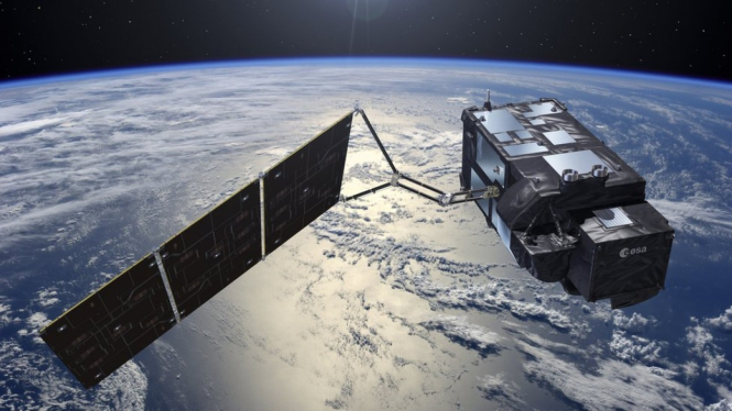
Scientists have found a way to predict cholera outbreaks using a combination satellite climate change and artificial intelligence.
Researchers hope that ultimately the technology will save people living in badly affected areas.
“It’s quite impressive because we can measure the ‘pulse’ of the planet,” said Dr Paolo Cipollini, of the European space agency, the European Space Agency (ESA).
“You wouldn’t think about space and satellites to solve health problems, but this is something that is now widely accepted.”
The study shows how a cholera outbreak in coastal India can be predicted with an 89 percent success rate.
The team from ESA and the Plymouth Marine Laboratory (PML) collected environmental satellite data that existed for eight years and using artificial intelligence, they built a model that predicted where cholera might spread.
Cholera is a waterborne disease caused by food or drinking water contaminated with the Vibrio cholerae bacteria.
This disease is found in coastal areas of the world, especially in densely populated tropical areas.
About half of cholera cases come from countries bordering the northern Indian Ocean, including India, a place that researchers have studied specifically.

 –
–
