The first step is to ascend to the Castle of El Real de la Jara from the town. It has no loss. An ascending slope soon leaves the houses behind
–

Just before reaching the castle, a dirt track starts to the right. We take it.
–

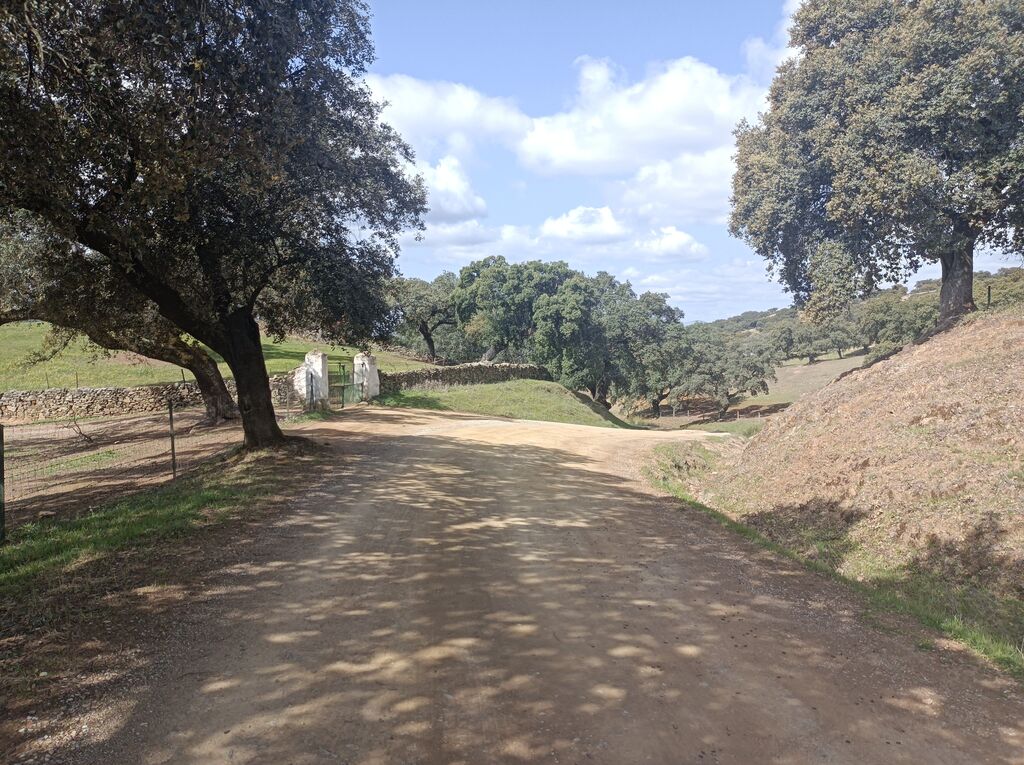
The trail advances between low walls in a gentle descent.
–
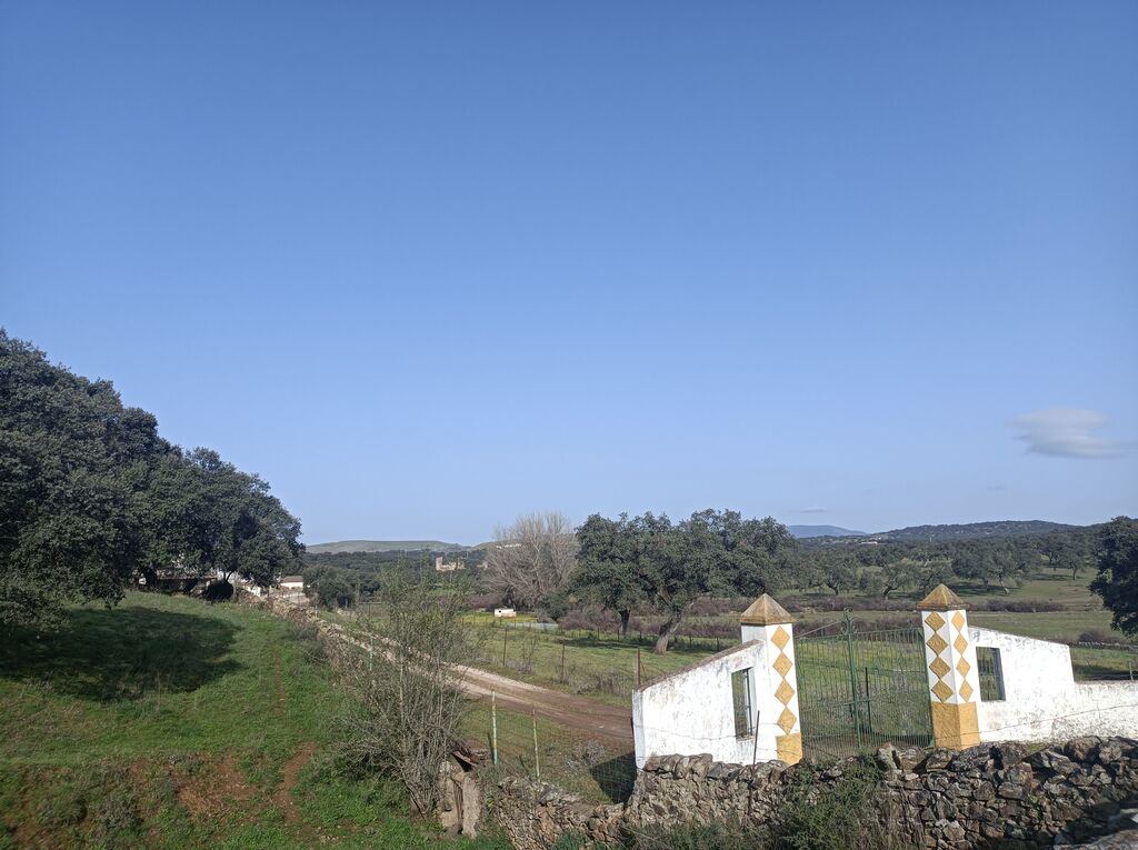
In the background on the left, you can see the Castle of the Towers.
–
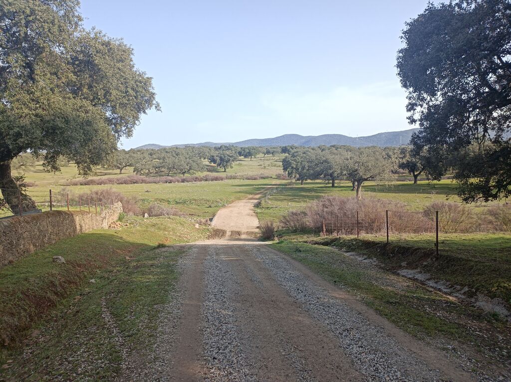
This ford crosses the first stream: Del Pino.
–
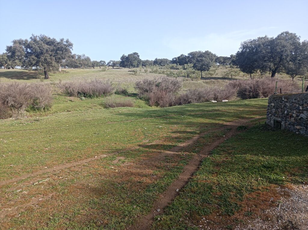
At this point we find the Arroyo de la Víbora. We follow the wall to the right.
–

The best option is not to cross the stream. It is convenient to follow the fence of the farm.
–
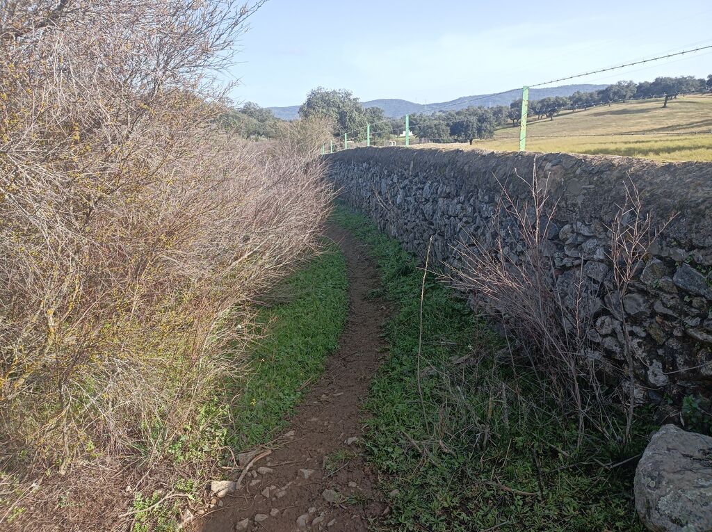
The path narrows in some sections and it is possible that the vegetation makes it difficult to advance in certain areas.
–

We will find very precarious doors, since cattle abound in this area.
–

Here ends the walk along the Arroyo de la Víbora. Now it’s time to go down the back road.
–

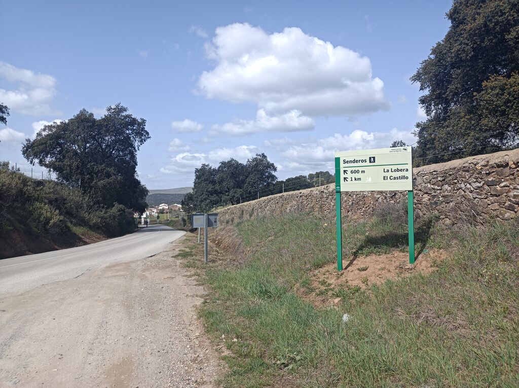
Along the road we will begin to see indicative posts.
–

The road has very little traffic.
–

The meadow and some slate formations mark the landscape.
–

It is possible that the cattle accompany us in some sections.
–
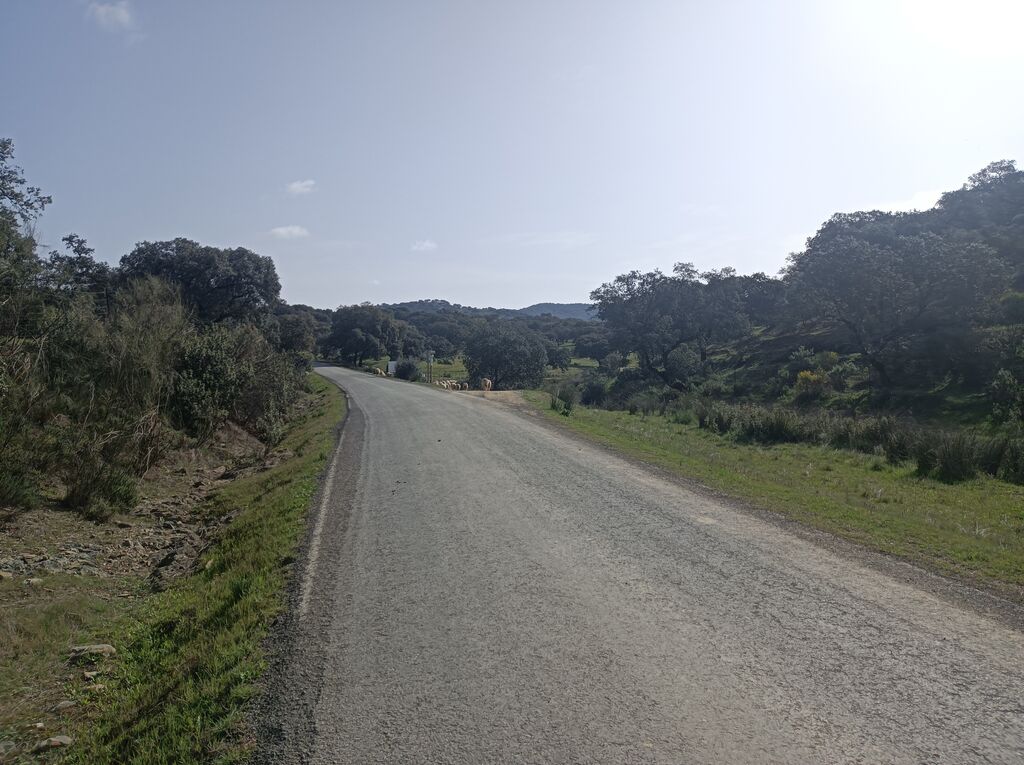
In the background on the right, the exit we must take. A post will indicate it to us.
–
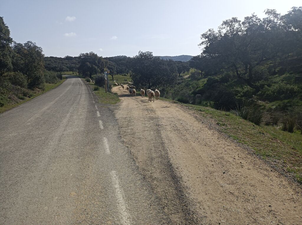
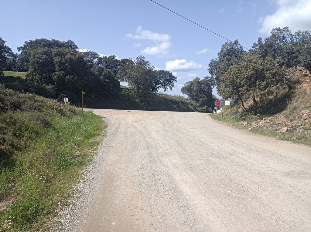
the fork that takes us out of the asphalt.
–

It is time to go along a dirt track in slight ascent next to the Arroyo de la Lobera.
–

Rush hour on the road. Jam.
–
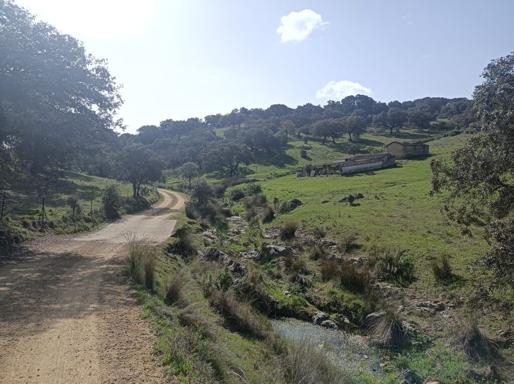
The stream, the meadow and some buildings will be our companions.
–
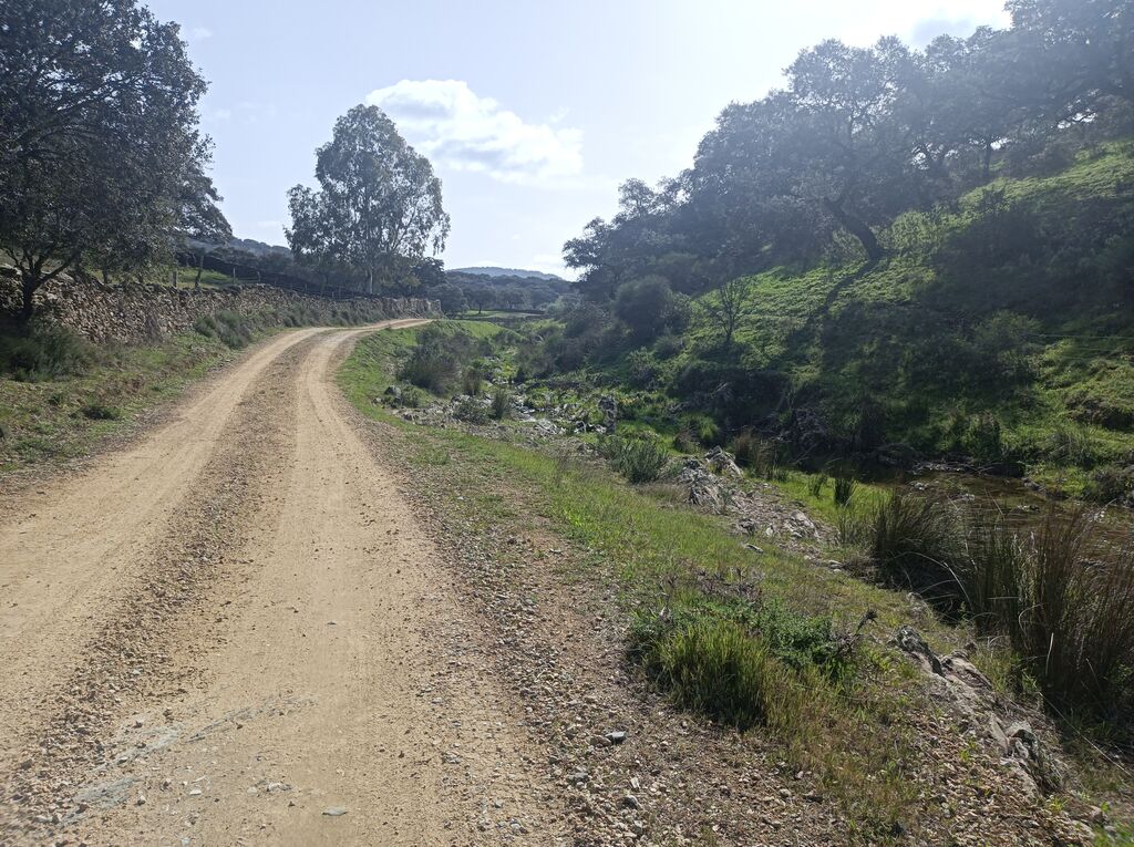
From time to time it is convenient to come closer to look at the geological formations close to the route.
–
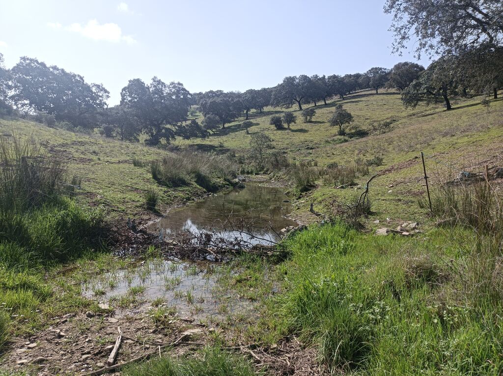
Some streams will cross the path. If they are grown, they will make it difficult to pass.
–

We will always go between two mountains. The road, although it may not seem like it, goes up.
–

The cattle that usually go loose are sheep and goats. The cows and pigs are locked up.
–

We reconnect with another road.
–
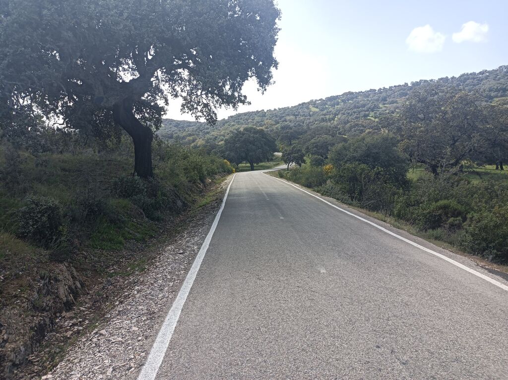
It also has no traffic. Follow the ascent.
–

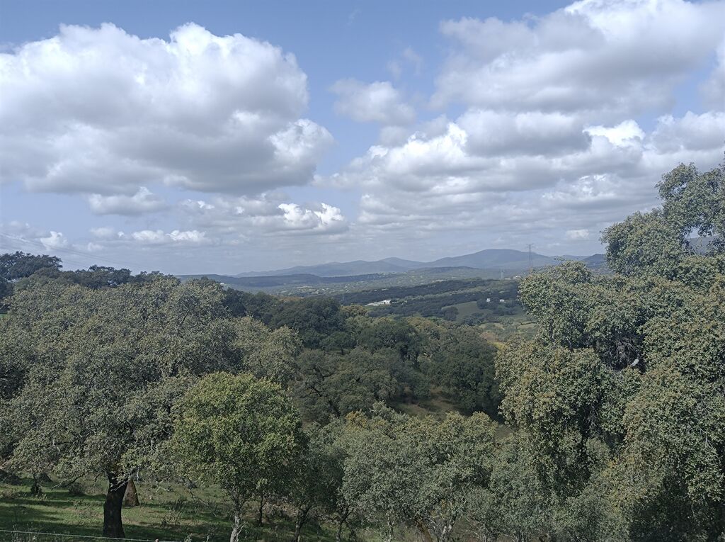
We will begin to appreciate the height that we are accumulating. The views from this road get better with every step.
–

Views of the Sierra del Pimpollar.
–
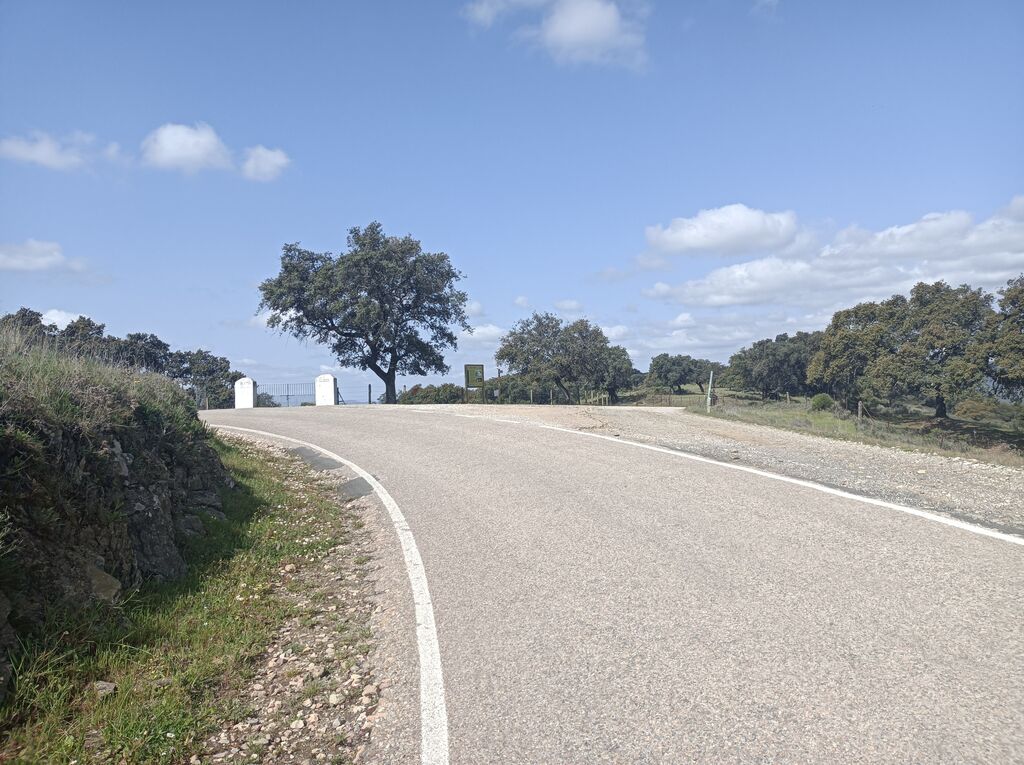
You leave the cart around this curve. We cross to the right.
–

It is the port of La Parrilla, the highest point of the route.
–

This sign tells us where we are. It also tells us about the presence of wolves in this area until the middle of the 20th century.
–

A pleasant descent between cattle farms begins.
–
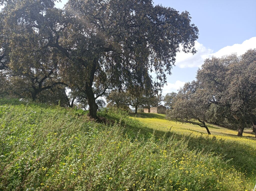
Photos of the La Lobera georoute
–
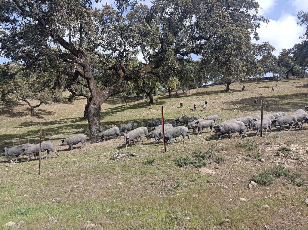
A herd of pigs by the road.
–
