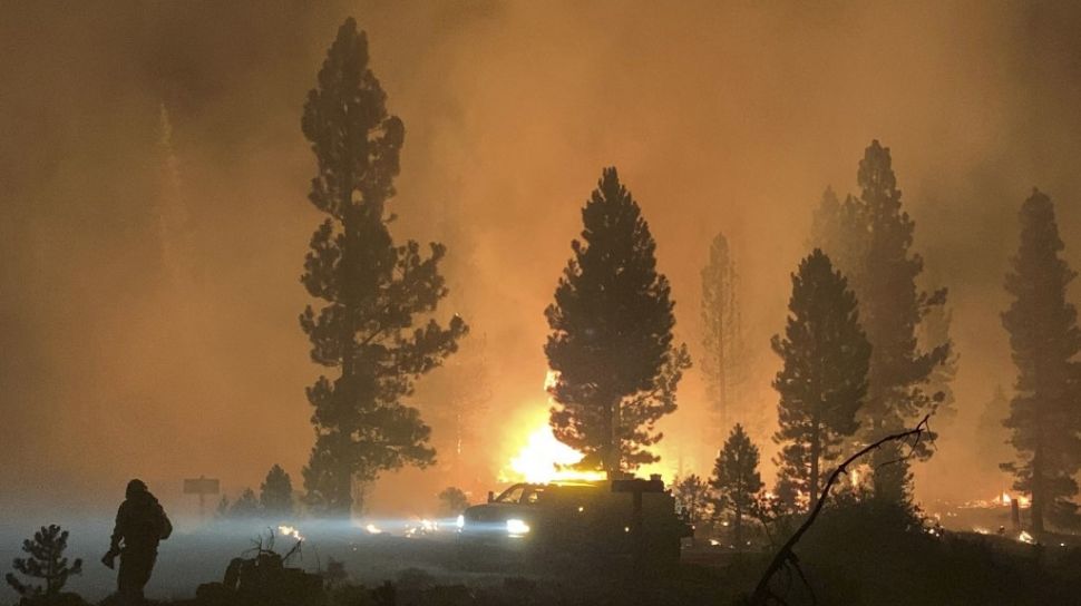
Suara.com – While billionaires race to shoot themselves into space, NASA sending satellite imagery back to Earth provides vital assistance to firefighters, fighting forest fires.
The United States (US) space agency uses a new spatial imaging technology from Space Station International (ISS).
They inform the fire crew fighting the Dixie and Bootleg fires where they are at their hottest.
This allows firefighters from the US Forest Service to track where the fire is moving, effectively deploy resources and protect critical infrastructure.
Also Read:
ISS Module Sighting Dumped, Burned in Earth’s Atmosphere
Images taken by satellite from July 7 to July 22 show the Bootleg Fire’s path as it crosses southern Oregon, consuming 410,000 acres of land and hundreds of buildings and vehicles.
The NASA images were passed on to the research team from Rapid Analytics for Disaster Response, or RADR, at the Pacific Northwest National Laboratory in Richland, Washington.
There, scientists can process data from satellites, drones and artificial intelligence in minutes and pass it on to incident commanders on the ground.
“This can help with evacuation routes to help understand where search and rescue should go,” Andre Coleman, RADR principal investigator, told NBC News.
“Many surgeries today don’t get situational awareness as often as they would like,” he said Independent, Saturday (31/7/2021).
Also Read:
Russian Module Accidental Thrust Shot, Space Station Leaning
Previously, firefighters would send planes into the skies over forest fires to map the path of the fire, which would take hours rather than minutes.
The specialized heat-seeking instrument that captures these high-definition images is known as the ECOsystem Spaceborne Thermal Radiometer Experiment on Space Station, or ECOSTRESS.
It works by measuring the surface temperature twice a day in high resolution.
Its main purpose is to measure plant temperatures, but it can also track forest fires, heat waves and volcanoes.
“The ECOSTRESS capability is unique,” said NASA’s Jet Propulsion Laboratory.
“Satellites that acquire data more often do not have a high enough resolution to track fire frontlines, and satellites with higher resolution than ECOSTRESS traverse the same area less frequently.”
This technology helps provide tactical assistance to more than 22,000 firefighters tackling dozens of wildfires.
![Hotspots taken from NASA satellites. [NASA]](https://media.suara.com/pictures/653x366/2021/07/31/48733-titik-panas-diambil-dari-satelit-nasa.jpg)
Ilkay Altintas, a computer scientist at the University of California, San Diego, told NBC News that the technology is proving critical to helping reduce the impact of forest fires, which are fueled by climate change.
“The more science and data we can provide firefighters and the public with, the sooner we have solutions to fight and reduce forest fires,” he said.
– .


