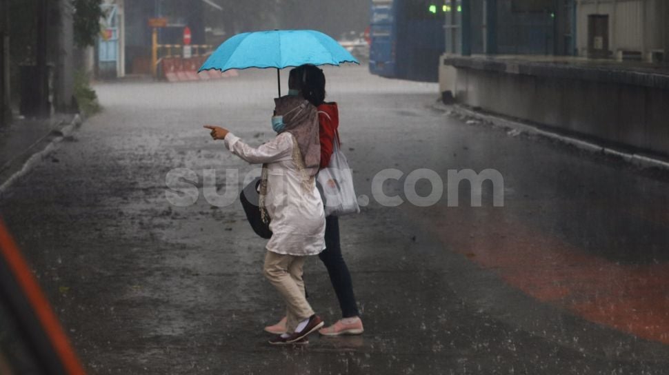
Suara.com – During June 2021 the temperature cold Jakarta more than the same month in 2020, even though Indonesia has entered the dry season which is usually hot, said the Center for Atmospheric Science and Technology of the National Aeronautics and Space Institute (Eight).
Researchers from PSTA Eight, at the end of last week revealed that during June 2021 Jakarta’s surface air temperature was cold, dropping by an average of 0.6 degrees Celsius.
Not only Jakarta, but also in Bandung, West Java, the PSTA Lapan scientists explained on Instagram social media.
“The trend of cooling temperatures between 0.5-1 degrees Celsius also occurred in Bandung from January to June 2021 when compared to 2020,” they explained.
Also Read:
The Origin of June 30 is Commemorated Asteroid Day
According to Lapan, the coldness of Jakarta and Bandung in the middle of the dry season is probably caused by the front phenomenon, namely the collision of two different air masses, namely between cold air and warm air.
What is likely happening now is that a cold front pushes warm air upwards, thus making the Earth’s surface, in this case Jakarta and Bandung, cooler.
The cold front can be formed from the strong movement of the cold eastern Australian monsoon. This cold front then collides with warm air from the west due to the presence of vortex and negative Dipole Mode in the Indian Ocean.
“This cold front can then expand and be restrained by the existence of thick, persistent cold clouds covering the land,” explained PSTA Lapan.
Also Read:
Can I Save Falling Meteorites for Personal Collection?
Regarding the Negative Mode Dipole itself, PSTA Lapan explained when revealing the reason for the more frequent rains in June. In Indonesia, June is usually the dry season, but this year it rains almost every day.
“Rain that is still frequent in western Indonesia (Java and Sumatra) since the beginning of June is due to the influence of the ocean-atmosphere dynamics in the Indian Ocean,” he explained. Erma Yulihastin from PSTA Eight.
This sea-atmospheric dynamics is shown from the formation of low pressure centers in the form of wind vortices called vortices south of the Equator, near the west coast of Sumatra and Java.
Since the beginning of June, the formation of vortices in the Indian Ocean is very intensive and is expected to last throughout the dry season period, so it has the potential to cause dry season anomalies that tend to be wet throughout July-October this year.
This is also reinforced by the prediction of the formation of a Negative Mode Dipole in the Indian Ocean which has the potential to cause a wet phase in western Indonesia.
The dipole mode is characterized by warming sea surface temperatures in the Indian Ocean near Sumatra, whereas in the region near Africa, sea surface temperatures cool.
This condition resulted in the concentration of cloud activity and rain occurring in the Indian Ocean west of Sumatra, resulting in the formation of prolonged rain during the dry season in most parts of Indonesia.
The warming of sea surface temperatures in the Indian Ocean west of Sumatra is also part of the feedback response to conditions in the Pacific Ocean which are currently experiencing La Nina but are getting weaker and tend to be neutral.
However, this negative mode dipole is predicted to last only a short time, namely two months (July-August) so that it does not meet the dipole mode criteria which scientifically must occur at least 3 consecutive months.
The existence of vortexes and warming of sea surface temperatures in Indonesian local waters is predicted to continue until October. The combination of the vortex and the local sea surface temperature anomaly is a generating factor that causes the dry season anomaly to tend to be wet this year, especially in the southern part of Indonesia (Java to East Nusa Tenggara) and northeast (Maluku, Sulawesi, and Halmahera).
– .


