Jakarta –
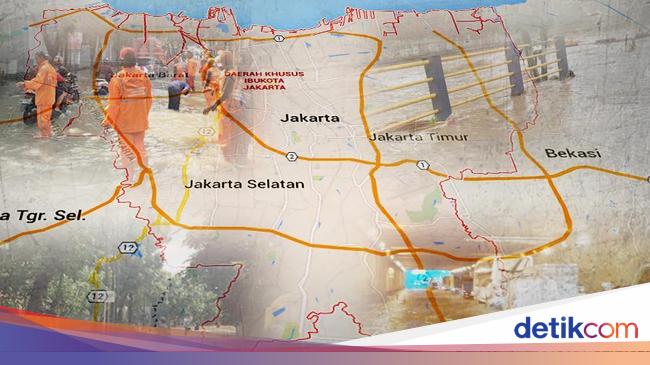
BPBD DKI Jakarta updates inundation RT data flood. In the latest report, DKI BPBD noted that 20 RTs were flooded.
Data Monday (26/10/2020) as of 21.00 WIB, it was reported that the RT that was most flooded was in East Jakarta.
“RTs were inundated, 20 RTs,” said the Head of the Data Center BPBD DKI Jakarta M Repent through written evidence.
From existing data, currently no residents have fled. Apart from that, there were 3 roads which were flooded. This data has decreased from the previous one at 18.00 WIB which states that 7 roads have been flooded.
The following is the distribution of RT locations and flooded roads.
East Jakarta there are 14 RTs consisting of:
– Kel. Rambutan
Altitude 10-30 cm: 8 RT
Altitude 31-70 cm: 5 RT
– Ex. Cipinang Muara
Altitude 10-30 cm: 1 RT
South Jakarta there is 1 RT consisting of:
– Kel. Jati Padang
Altitude 10-30 cm: 1 RT
North Jakarta there are 5 RTs consisting of:
– Kel. Rawa Badak Selatan
Altitude 31-70 cm: 1 RT
Height 71-150 cm: 4 RT
In addition, it was reported that 3 roads were submerged. The three roads are located in East Jakarta with a water level variation of 10-15 cm. Here are 3 roads that were flooded:
– Jl. Milling, Dukuh, Kramat Jati
– Jl. SD Inpres, Rambutan, Ciracas
– Jl. Pelita RT 05 / RW 12, Lubang Buaya, Cipayung
(man / jbr)
– .


