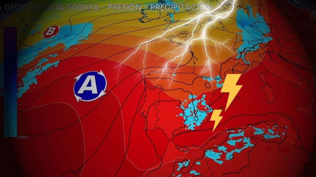
Both systems will cross the country, leaving behind showers and thunderstorms that can be strong and with hail. Warnings for severe storms extend across the east and centre of the peninsula.
A front and a new trough arrive in Spain
Where is it going to rain? Both the Thursday and Friday afternoons They are going to form again showers and thunderstorms which will mainly affect the eastern interior of the peninsula and also the central area: eastern Andalusia and Castilla-La Mancha, inland Murcia, Valencia, Aragon and Catalonia, without ruling out Madrid.
Showers expected on Friday afternoon. Map: Eltiempo.es
The situation will worsen on Saturday. A low pressure system will arrive from the Atlantic, heading south of the British Isles, with a front that will enter Galicia and, behind it, a new low pressure system will arrive. Both systems will cross the peninsula over the weekend, bringing rain, showers and locally strong storms.
A front will arrive on Saturday with rain in Galicia. Map: Eltiempo.es
Thanks to the front, On Saturday the rains will begin in Galicia and will spread over the Cantabrian Sea and northwest of Castile and Leon. From midday onwards clouds will grow and showers will form in Navarra, La Rioja, Aragon, inland Catalonia, the Valencian Community and in the mountains of the southeast. In parts of the country,The Ebro and Pyrenees could be strong and leave hail and strong winds.
A rainy weekend: Sunday will be the worst day
A trough will cross the peninsula over the weekend, favouring showers and storms in many regions, with hail and thermal collapse. Map: Eltiempo.es
On Sunday the rains will subside from the Cantabrian SeaAs the trough advances, showers could intensify in the east of the peninsula and even reach the Balearic Islands.
The heaviest showers on Sunday They may occur in the Pyrenees, Teruel, in large areas of the Valencian Community, in a large part of Castilla-La Mancha, inland Murcia, eastern Andalusia and also in Madrid. They are not ruled out in eastern Catalonia and the Balearic Islands.
Showers expected on Sunday afternoon. Map: Eltiempo.es
In the Canary Islands It is possible that they also occur light rains especially on Saturday. This trough will move away over the Mediterranean and it is possible that a DANA will emerge from it, but as of today, the models indicate that it would far from Spain and it would not affect us.
Yellow and orange warnings for heavy rain and storms
Accumulated rainfall forecast for Sunday in Spain. Map: Eltiempo.es
Lthe accumulated What these storms can leave behind may be greater than expectedBy Sunday, the most significant storms could occur in areas in the north of Navarra and Huesca, but also in the mountains in the southeast and south of Teruel.
We have yellow warnings in parts of Castilla-La Mancha, Andalusia, Murcia, Valencia, Aragon and Catalonia for strong storms, hail and heavy rain.
Accompanying these systems will also come a air mass colder from the Atlantic, which will favor a thermal drop and on Sunday, many regions could not even reaching 30ºC.
RELATED VIDEO: FIRST FLOODS ARE HITTING TERUEL


