Jakarta, MISTAR.ID
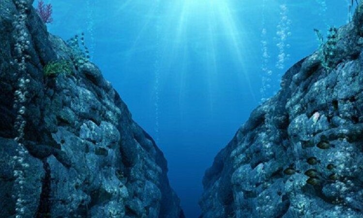
A very large geological superstructure that has been growing since the Cretaceous period was discovered at the bottom of the Pacific Ocean.
The imprinting of this superstructure is caused by a zone of intraplate volcanism that is wider than England.
Recent research by geologists is trying to gather information on how the Melanesian Border Plateau was formed. It was concluded that the plains were formed through a number of different waves of volcanism, starting when dinosaurs roamed the Earth and continuing until now.
Also read: China is increasingly active, the Indian Ocean is the world’s geopolitical arena
The sea floor is littered with countless volumes of seamounts and ridges, as well as larger volcanic structures. It is often interpreted that underwater features like this are created by sudden volcanic disturbances. This incident has the potential to become a major disaster and trigger major environmental changes.
Only this latest research shows that the Melanesian Border Plateau has a more complicated background. Located in the southwest Pacific Ocean, this superstructure appears to have been formed over millions of years through a slow burning process that took place in 4 different stages.
“There are a number of features in the Pacific basin, and scientists only have one sample, this looks like a very large single event,” said Kevin Konrad, study leader and Assistant Professor at the University of Nevada, Las Vegas, as reported by Live Science, on Tuesday (1/16/24).
Also read: Be alert! Heat Waves at the Bottom of the Ocean Threaten the Earth
To address their findings, the team conducted geochemical studies on samples taken from the Melanesian Border Plateau region, the Western Samoa Seamounts, the Eastern Samoa Seamount Province and the Tuvalu Seamount Chain region.
This shows the origins of the superstructure starting in the Cretaceous period around 120 million years ago with giant lava outbursts, creating a series of undersea mountains.
In the second stage, between 56 million and 33.9 million years ago, the lithosphere, Earth’s rocky outer shell, passed through a volcanic region called the Arago hotspot, creating more seamounts and a number of Ocean Islands. These islands eventually eroded and sank below the surface.
Also read: 7.6 Magnitude Earthquake Hits Southern Philippines, Tsunami Estimated to Be 3 Meters High
Next, forward to the more recent Miocene period, 23 million to 5 million years ago. Similar islands and underwater mountains were reactivated and new volcanoes formed as Earth’s lithosphere passed through another hotspot, the Samoan hotspot. This volcanic hotspot still gives rise to new islands today.
Finally, in a period that is still ongoing today, new volcanic eruptions in the highlands occurred because the lithosphere had changed shape due to the retreat of the Pacific plate beneath the Tonga Trench.
This is complex information, which the researchers think will provide a more nuanced picture of how some underwater features form. To describe the geological products of this multi-stage event, the team advocates the term ‘Mid-Ocean Plate Superstructure’. (sec/hm16)
2024-01-16 08:28:11
#Rare #superstructure #bottom #Pacific #Ocean #DAILY #MISTAR

:strip_icc():format(jpeg)/kly-media-production/medias/4717008/original/051602100_1705370610-20240116-Indonesia-Vs-Irak-AP-1.jpg)
