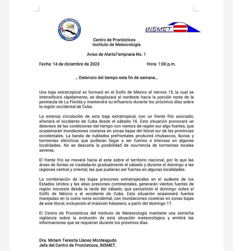
The Institute of Meteorology has issued a forecast for next weekend, warning of strong winds, flooding in the west and possible severe local storms.
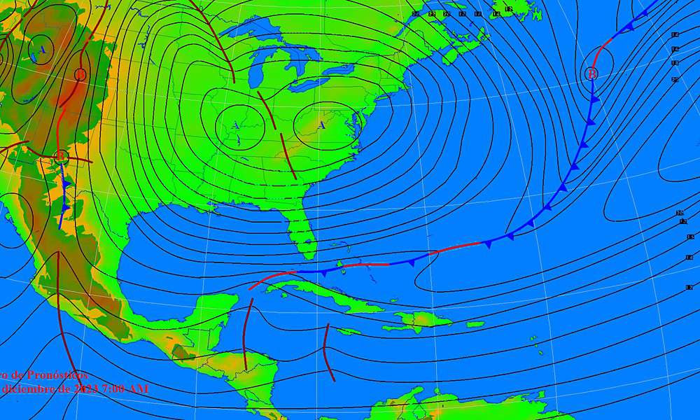
The main cause is an extratropical low that will form in the Gulf of Mexico on Friday the 15th and intensify rapidly.
This extratropical low will move towards the northeast, affecting the northern portion of the Florida peninsula and maintaining its influence over the western region of Cuba in the coming days.
Somewhat strong southerly winds are expected, causing coastal flooding in low-lying areas of the southern coast of the western provinces starting on Saturday the 16th.
The prefrontal cloudy band will result in showers, rain and possible intense thunderstorms in some locations, even with the possibility of severe local thunderstorms. The associated cold front will move eastward over the national territory, gradually moving the rainy areas towards the central and eastern regions during Saturday and Sunday.
The combination of extratropical low pressures in the southeastern United States and continental high pressures will generate strong winds from the northwest region starting Saturday afternoon, persisting on Sunday over the Gulf of Mexico and western Cuba. This will cause strong swells on the western north coast with coastal flooding, including the Havana seawall, starting on Sunday the 17th.
The Forecast Center of the Institute of Meteorology, under the direction of Dr. Miriam Teresita Llanes Monteagudo, maintains close monitoring of the evolution of this meteorological situation and will issue the necessary information in the coming days.
The population is urged to pay attention to updates and take the necessary precautions in the face of these adverse weather conditions.


