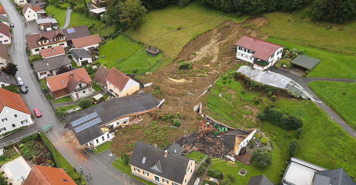
A team led by the Viennese geomorphologist Thomas Glade is working on a new vision for hazard and risk assessments and forecasts. An early warning system could certainly be established in Austria given the current data situation. As part of their “MoNOE” project, the team developed a hazard warning map for landslides and fall processes using a uniform methodology for the whole of Lower Austria, Glade explained in an interview with the APA. This included data on over 13,000 documented landslides up to 2015. In the meantime, the experts for risk prevention and disaster control at the University of Vienna compared more than 400 events that have occurred in Lower Austria since then with their detailed hazard warning maps in a follow-up project.
Results promising
The result: 90 percent of them occurred in the predicted endangered zones. The remaining events took place almost exclusively in the immediate vicinity – i.e. between ten and 50 meters – around these areas. This finding is extremely promising for Glade: “This is more or less a direct hit.” This makes it possible to identify areas “where nothing has happened yet, but where there are potential threats in the future.” However, such a uniform, comparable picture across all municipal boundaries, as was possible to create in cooperation with the Lower Austrian authorities, does not exist in all federal states.
Overall, however, we are still a long way from a comprehensive system that can be used to assess the regional probability of landslides in a current and as far-sighted manner as possible and to make statements about the potential size and probability of such events recurring – a real “danger map”. A “risk map” would be achieved if there was also an estimate of whether, how often and to what extent streets, houses or people would be affected, i.e. what the potential consequences of the landslides would be.
“Extremes are becoming more extreme”
There is a need for this: This summer has impressively shown that landslides are becoming more frequent as a result of climate change and the associated forced reorganization of many natural areas plus increasing weather extremes. Glade: “After this year, I am even more convinced that these events will increase. Extremes are becoming more extreme.” That would be an additional argument for addressing the issue comprehensively nationwide.
Glade and his team are thinking, among other things, about incorporating current and future estimated rainfall data into real danger and risk maps. In addition, complex relationships must be better understood and assessed: if landslides reach channels, they can subsequently lead to mudslides, which can then block rivers or load them with a lot of debris and debris. This is how “multi-hazards” continue in “cascade effects”. Representing all of this as precisely as possible in a large model would be a scientific challenge, but one that can be overcome and is something we are working on, said Glade.
Once you have this information together and, if possible, the expected regional precipitation forecasts in real time, you can specify the probabilities for different scenarios. Warnings would then be possible as to which specific slopes are actually at risk of slipping given what actual amounts of rain tomorrow or the day after. Currently, such assessments are largely made by local experts, whose expertise may not always be available at the right time. Then you could provide support with an objective assessment, says the researcher, who advocates more preventative rather than reactive thinking.
more on the subject
200 missions during the night: severe weather took its toll on Upper Austria’s fire brigades
more on the subject

Fire brigades in the Mondsee region were in constant operation


