Hurricane Hilary Threatens Southwestern US with Flooding Rainfall
Concern is growing as Hurricane Hilary approaches the southwestern US and parts of California, with the potential to unleash a prolific amount of flooding rainfall. The storm, currently a powerful Category 4 hurricane, is expected to bring more than a year’s worth of rain to parts of California, Nevada, and Arizona. This has prompted a rare Level 4 of 4 threat for excessive rainfall in Southern California, the first ever to be issued for this region.
Hilary, located about 325 miles south of Cabo San Lucas, Mexico, is forecasted to remain a Category 4 hurricane as it approaches Mexico’s Baja California peninsula. Forecasters have issued hurricane and tropical storm warnings and watches for Baja California, including the Los Angeles area, as well as northwest Mexico.
The storm’s track and intensity remain uncertain, with small deviations potentially changing the forecast for the most intense rain and wind. However, the hurricane is moving faster than expected, meaning impacts in Mexico and California are expected sooner than initially predicted. The National Hurricane Center projects that Hilary’s core will be near the central portion of Baja California on Saturday night and move inland over southern California by Sunday night.
While Hilary is more likely to make landfall in Mexico and cross into California, if it does make landfall in California as a tropical storm, it would be the first such storm to do so in nearly 84 years. The National Hurricane Center issued the first-ever tropical storm watch for parts of Southern California, which was later changed to a warning.
Regardless of its strength, Hilary is expected to substantially weaken before reaching Southern California and parts of the Southwest. However, the storm will still enhance heavy rainfall and increase the risk of flooding. Heavy rainfall is expected to begin impacting the Southwest on Saturday and continue through early next week, with the most intense downpours likely on Sunday and Monday.
The potential for excessive rainfall is a significant concern, as high risks are responsible for the majority of flood-related damage and deaths. Southern parts of California and Nevada could receive 3 to 5 inches of rain, with isolated amounts of up to 10 inches. Central parts of these states, as well as western Arizona and southwest Utah, are expected to receive 1 to 3 inches of rain.
Areas such as Death Valley, California, which typically receive minimal rainfall, could see enough rain from Hilary to equal one to two years’ worth of precipitation in a single day. Las Vegas could also receive 2 to 4 inches of rain, significantly more than its average annual rainfall of 3.75 inches.
The prolonged rain may oversaturate the ground and overwhelm waterways, worsening the flood threat. Mojave National Preserve, located on the California-Nevada border, has been closed until further notice due to possible flooding from the storm.
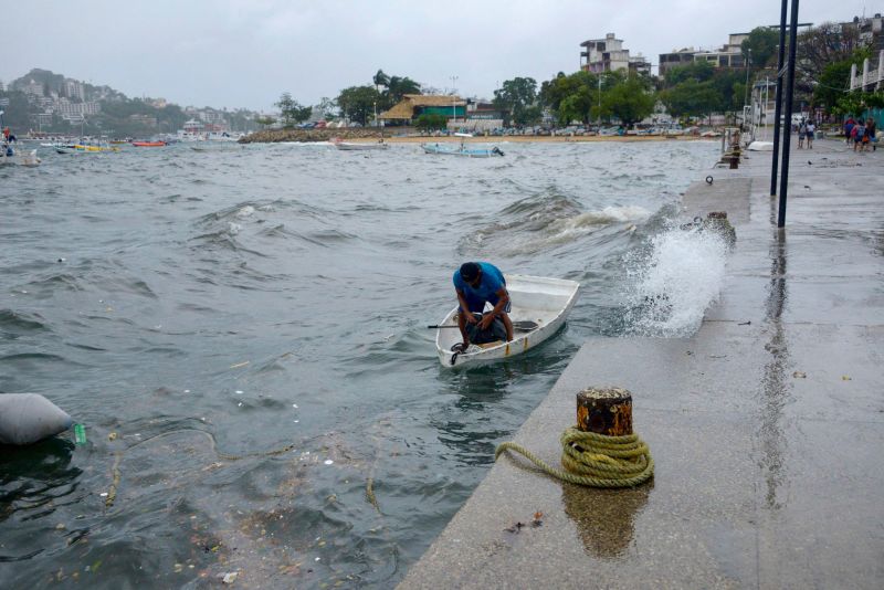
Residents across Southern California, from San Diego to Los Angeles, are preparing for potential deluges, with flood watches in effect for the weekend. The National Weather Service in Los Angeles has also warned of high surf, rip currents, and coastal flooding. Local authorities are taking measures to protect vulnerable populations, such as the homeless community, and are ready to respond to any emergencies.
As Hurricane Hilary approaches, the Atlantic is also gearing up for increased tropical activity. Four separate areas of concern stretch across the entire basin, with one area in the Gulf of Mexico posing an immediate threat to the United States. The area may develop into a tropical depression by the middle of the week.
As the situation unfolds, it is crucial for residents in the affected areas to stay informed and follow any evacuation or safety instructions issued by local authorities.

What precautions should residents in Southern California take to protect themselves from potential flooding and other impacts of Hurricane Hilary?
Tential for widespread flooding in the affected areas is a major concern. The amount of rainfall expected from Hurricane Hilary is staggering, with some areas forecasted to receive more rainfall in a few days than they typically get in an entire year.
In preparation for the storm, communities in Southern California have been making efforts to protect themselves from potential floods. Residents have been advised to take necessary precautions, such as clearing their gutters and drains, securing loose items outdoors, and staying updated on weather alerts and evacuation orders. Emergency management agencies are also standing ready to respond to any emergencies that may arise.
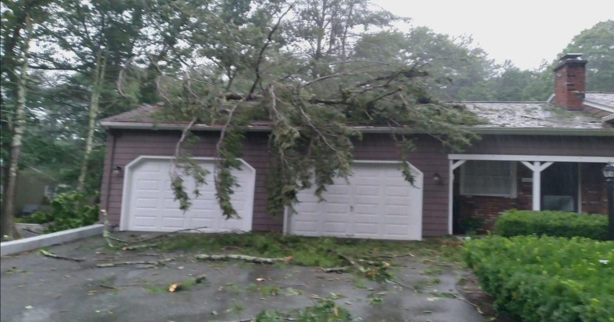
The impact of Hurricane Hilary is not limited to just floods. The storm is expected to bring strong winds, which could result in downed trees and power outages. Coastal areas may experience storm surge, while mountainous regions could face the risk of flash flooding and landslides.
Authorities are urging residents to stay vigilant and heed all warnings and evacuation orders. It is crucial for everyone to take this storm seriously and be prepared for potentially life-threatening conditions. Now is the time to gather essential supplies, create an emergency plan, and ensure that all necessary precautions are taken to protect life and property.
As Hurricane Hilary approaches the southwestern US, it is essential for everyone to stay informed and updated on the latest developments. Following the guidance of local authorities and emergency management agencies is crucial to ensure the safety and well-being of communities in the path of this powerful storm.


Stay safe everyone! It’s better to be prepared than sorry.
Praying for the safety of all those in the hurricane’s path. Stay strong and take necessary precautions.