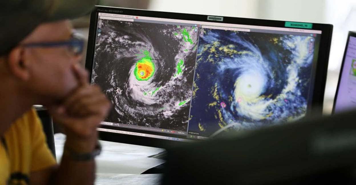
Palakkad ∙ Cyclone Biporjei, which has become extremely intense after hours from the 31 degree temperature in the central-eastern part of the Arabian Sea, will move to where? Where is it likely to land? It is a situation where there is no way to know the direction of the cyclone. Meteorologists say this is not usually the case.
It is possible to predict an almost exact trajectory. However, this time there was no clarity. The path of the cyclone became a challenge. The first indication was that it was traveling in the north-east direction towards Mumbai-Gujarat coasts. Forecast models by some agencies also said the cyclone would move north and then turn east. However, even after three days, there is no sign of direction.
Biporjei has also raised more curiosity and curiosity among climate scientists. The Meteorological Center (IMD) has concluded that the cyclone, which is currently 746 km west of Gewa, will move in a northwesterly direction. As it is an extreme cyclone, there is a high possibility of significant problems in the landfalling area.
It is estimated that it will not affect the monsoon in the present situation. The main reason for the change in the IMD forecast that the rainy season will arrive on June 1 and then on June 4 is also this cyclone, which was in the form of low pressure in the Arabian Sea. Monsoon was trapped in a low pressure system, but as it turned into a cyclone, the rainy season washed over Kerala. Cyclone in the Bay of Bengal helped it significantly.
It is estimated that there has never been such confusion regarding the direction of the cyclone. Some scientists have also concluded that this situation is due to the closeness of time. There have been predictions on the subject for two decades without significant errors. It is also observed that phenomena related to monsoons are forming rapidly. One day the low pressure in the Arabian Sea turned into a cyclone. It is concluded that this is due to the heat of the sea.
A normal depression takes three days to become a cyclone. It is expected that it will take another four to five days to start getting continuous monsoon. If the low pressure formed in the Bay of Bengal strengthens, it will further strengthen the Monsoon. Dey, a meteorologist at Kechi University Radar Research Center, said that cyclones formed in the China Sea are also good for monsoons. M.G.Manage said. It is reported that the coastal area is getting heavy rainfall.
English Summary: Uncertainty on path of Biparjoy cyclone
2023-06-09 17:13:41
#happen #Bporjei #chuhali #engeta #Experts #loss

