Home » World » New snow storm could become a “bomb cyclone” before reaching New York this weekend

New snow storm could become a “bomb cyclone” before reaching New York this weekend


Effects of a snowstorm in New York.

Photo: Mariela Lombard / The NY Journal

a powerful winter storm likely to become a “bomb cyclone” will leave large amounts of snow from the northern Great Plains to northeastern parts of the country such as New York.

Starting this Friday, Midwestern states of the United States such as Iowa and Nebraska they will begin to experience the effects of snow.

An advisory from the National Weather Service in Omaha indicates that Iowa is expected to receive the most snow or up to six inches.

“A snow storm will affect the region on Friday and Saturday. The most snow is expected in IA. A westward moving trend suggests greater snow impact for western Iowa and eastern Nebraska. It is advisable to track local forecasts for the latest trends,” reads a message on the NWS Omaha Twitter.
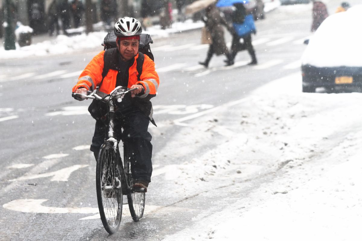
Eventually, the forecasts indicate that the system, which will also include rain and wind gusts, will impact states in the southeast and northeast of the country.

Possible chaos on the roads due to snow storm

With respect to tri-state zone, Sunday is anticipated to be the most complicated day, as weather conditions could cause a chaos on the roads.

“A lot of things may change in the next few days, but considering what we see now, that’s our thought — that there will be enough snow at least for a long enough period of time to complicate travel,” the New York Post meteorologist told The New York Post. Accuweather Dave Dombeck.

Up to 6 inches of snow in New York

“It will be significant enough to mess up roads and travel and it can be a real mess for a while,” the expert insisted.

Dombek specified that it is estimated at 20% the probability that the city will see more than six inches of snow. But the biggest bet is that the counties will drop about three inches while areas to the north and west of the city will get more .

“If we are in a mostly snow area, then we are going to see heavier amounts. At this time, which does not seem likely, it is still on the table, “said the meteorologist.

The specialist added that there is a probability that the storm will transform into a “bomb cyclone”, which refers to a storm that intensifies very quickly as the barometric pressure plummets.

In addition, very cold air and considerable temperature drops are expected today and tomorrow before they rise to the 30s on Friday afternoon.

.

Leave a Comment

This site uses Akismet to reduce spam. Learn how your comment data is processed.